As sea levels rose, researchers believe the landscape changed from semi-arid to coastal and finally the present-day floodplain. Credit: Dr Jarrad Kowlessar, Flinders University.
New research revealed that the selection of internationally significant rock art sites in Arnhem Land was not random. Instead, these sites were “chosen” for the crucial vantage points they offered.
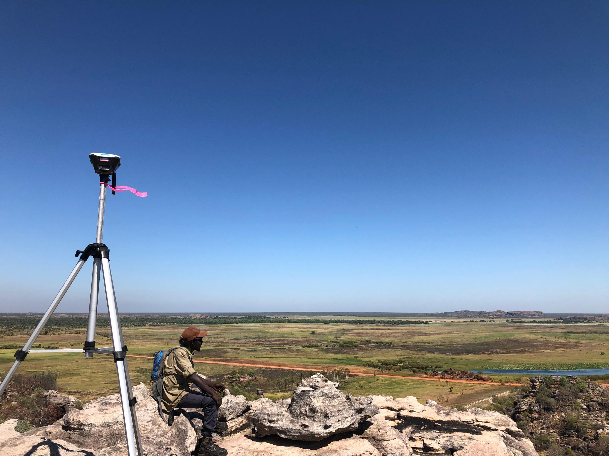
The Flinders University research team, working in collaboration with the Njanjma Rangers and Erre Traditional Owners, used aerial and drone surveys, subsurface imaging, and elevation data to create the first high-resolution palaeolandscape modeling to help understand 103 separate rock art sites in the region’s rich Red Lily Lagoon area.
What this innovative research has done is statistically model what the environmental conditions were like 15,000-28,000 years ago – when even the floodplain floor was 7-15 meters lower than where it sits today.
The Changing Landscape and Its Impact
Flinders Associate Professor Ian Moffat says the research findings better inform how the sites would have been used, their accessibility and visibility – what the Traditional Owner artists would have been looking at, watching out for, and why.
“When archaeologists interpret rock art, they often assume the landscape hasn’t changed since the art was first inscribed which certainly isn’t the case at Red Lily Lagoon,” he explains.
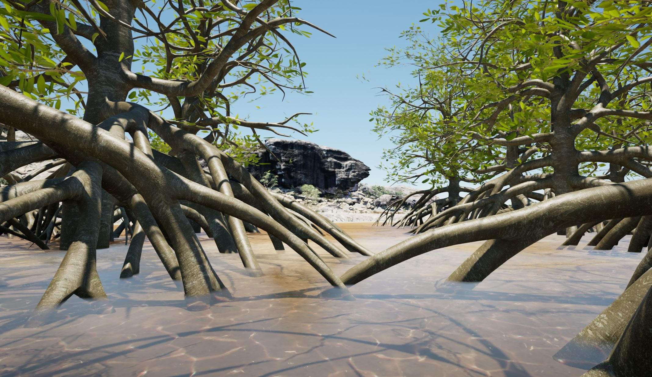
Sea level flooding and mangroves aerial approximately 6000 years ago. Credit: Dr Jarrad Kowlessar, Flinders University.
“This landscape has changed dramatically from being on the coast, a swamp, woodlands, and freshwater – and sometimes in just one lifetime. Our innovative research approach adds new information to understand the rock art in a fundamentally different way. Modeling the changes in environmental conditions over time sheds new light on the locations, where they were in in these landscapes, how they were selected and used, and the roles they held in community and clan life.”
This area of western Arnhem Land contains internationally renowned archaeological records, including Australia’s oldest known archaeological site, and at the same time, it has experienced colossal environmental landscape changes generated mostly by changing sea levels.
Associate Professor Moffat says the research identifies these changes include the coastline moving from 100s of kilometers away to coming right up against the cliffs in the Red Lily region, before retreating northwards, about 50 km to its current position.
He says the Flinders research traces the transformational impact rising sea levels had on the sandstone cliffs and flat floodplains terrain – changing its open savanna to mudflats, to mangrove swamp, before evolving into the seasonally inundated freshwater wetlands of today. These changes would have had profound implications for people, how they moved, interacted, and what they recorded at these locations.
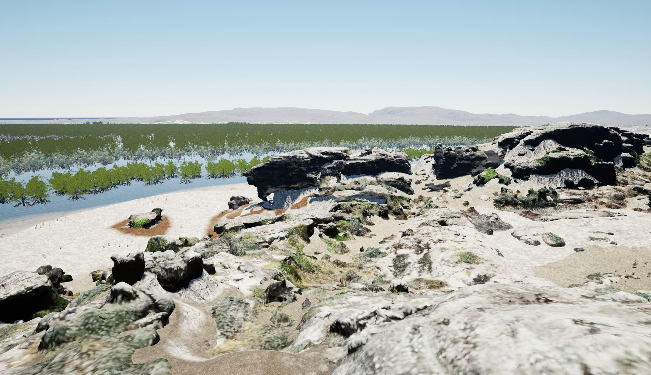
Archaeology site photo in Arnhem Land. Credit: Dr Jarrad Kowlessar, Flinders University.
“Our research has enabled a clearer understanding of the placement of rock art sites that goes beyond relying on today’s landscape as a reference point which is significant.
Insights into Rock Art Site Selection
Flinders College of Humanities Research Associate Dr Jarrad Kowlessar says this research identifies rock art production was most active, diverse in style, and covered most of the plateau area during a period when mangroves completely covered the floodplains – approximately 6,000 years ago.
“This may be because the mangroves provided abundant resources to sustain a large and stable human population at the time, or because the land had simply contracted so much due to the rising sea level that more people were in closer proximity,” says Dr Kowlessar.
“Interestingly most sites during this time were selected with views specifically overlooking mangrove areas.
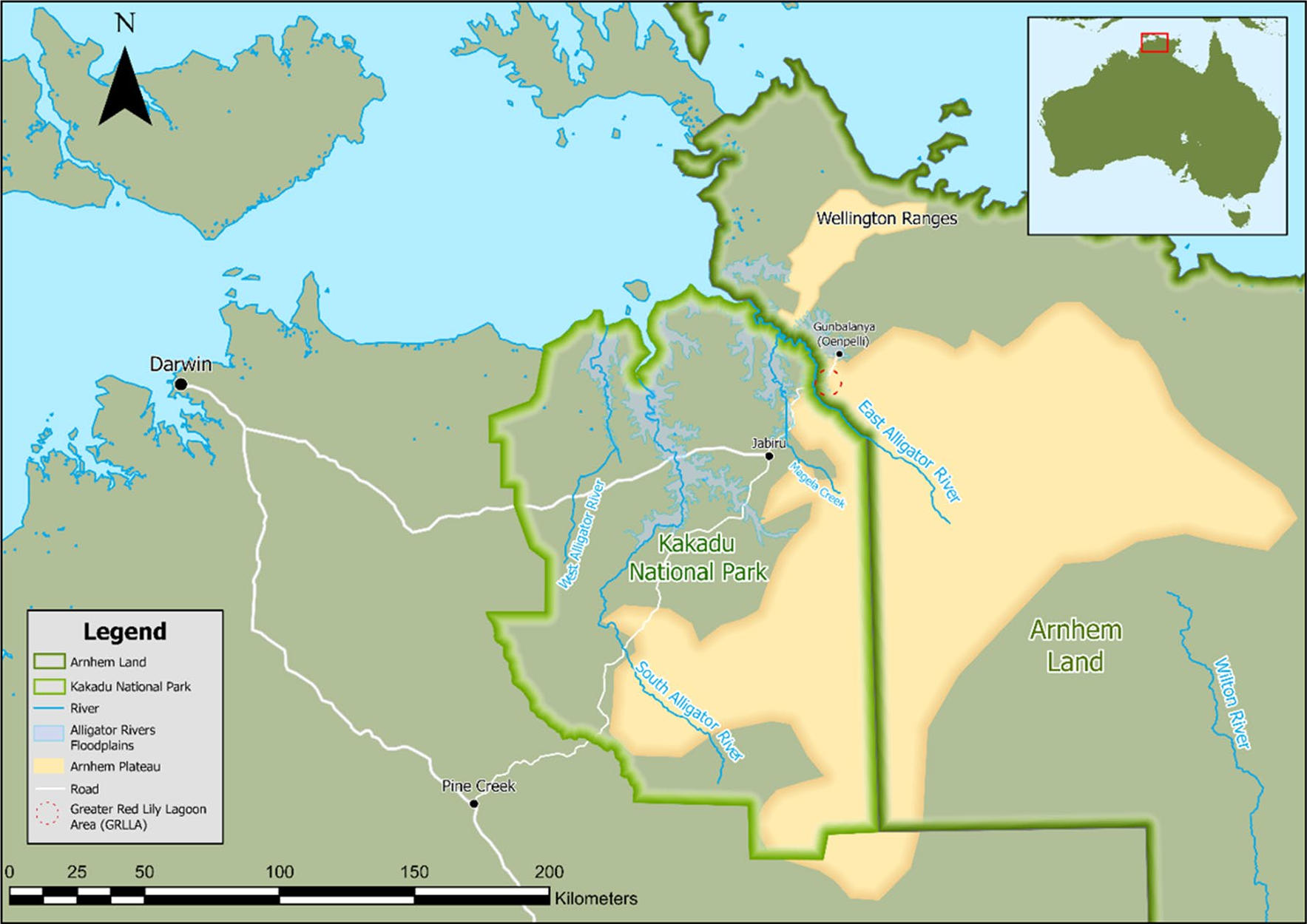
Map of the study area within the larger region, showing the Alligator rivers, floodplains, Kakadu National Park and Arnhem Land along with the Arnhem Plateau. Credit: Dr Jarrad Kowlessar, Flinders University.
“We also identify that during the period when the sea level was rising, rock art was preferentially made in areas with long-distance views over areas that had open woodlands at the time. So we can suggest these views may helped facilitate hunting, or even to more closely watch areas at a time when many people were being displaced by the rising water.
“Without doubt, the research demonstrates rock art site locations were intentionally selected, with nuanced relationships to the local landscape, and there is potential to use our modeling in the future to tell us much more about the rich and significant archaeology of Arnhem Land.”
Reference: “A changing perspective: the impact of landscape evolution on rock art viewsheds” by Jarrad Kowlessar, Daryl Wesley, Mark Willis, Ian Moffat, Tristen Jones, Shay Wrigglesworth, Alfred Nayinggul and the Njanjma Rangers, 28 December 2023, Archaeological and Anthropological Sciences.
DOI: 10.1007/s12520-023-01917-y
The research team includes Dr Kowlessar, Flinders Senior Lecturer Dr Daryl Wesley, Associate Professor Moffat, Mark Willis (Flinders University), Tristen Jones (University of Sydney), Shay Wrigglesworth and Alfred Nayinggul (Njanjma Rangers), with special thanks to the support and contributions of the Njanjma Rangers and Kakadu National Park.
The research was funded by the Australian Research Council.